Pilot site #3: Monti Lucretili
Country:
Italy
Type of heritage:
Cultural Heritage
Owners of the site:
Monti Lucretili Regional park
Managers of the site
Monti Lucretili regional park and 12 municipalities. Soprintendenza archeologia, belle arti e paesaggio per l'area metropolitana di Roma e per la provincia di Rieti
Coordinator for the ARGUS project:
Roma 3
Coordinates:
42.08983 N, 12.87230 E
Description of the pilot

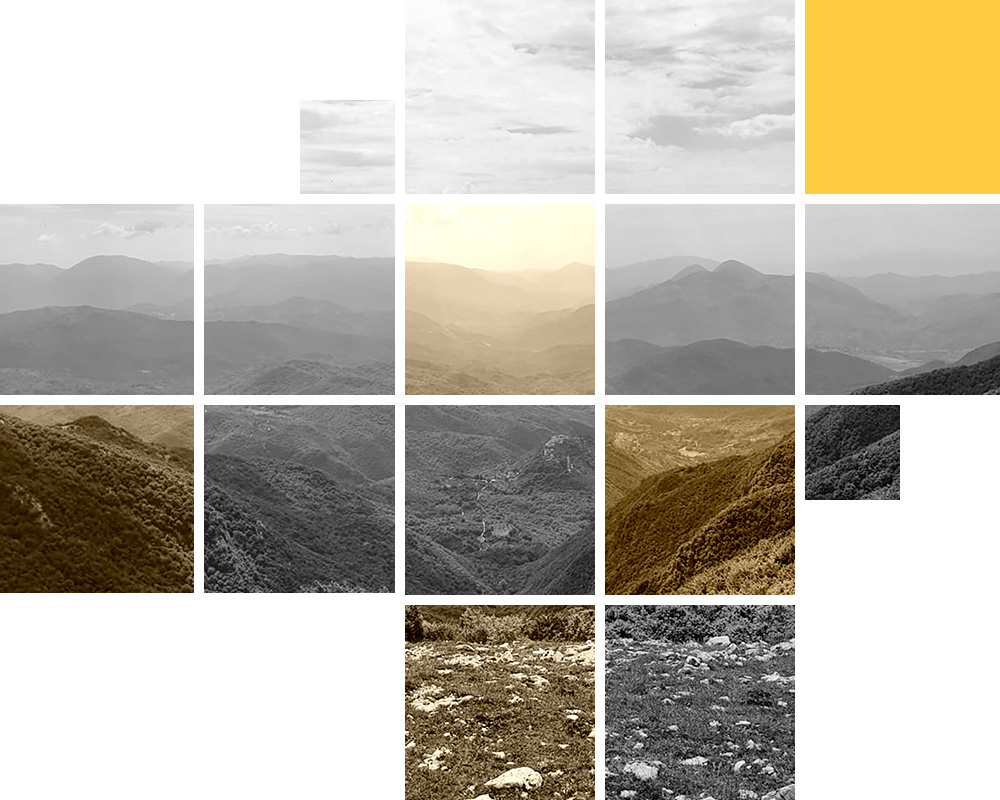
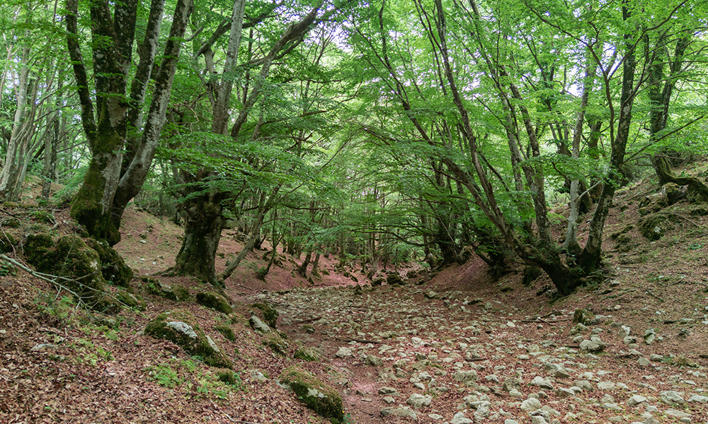
The area of “Monti Lucretili” is a mountainous district in the north-east of Tivoli, Rome, which formed the largest part of the Monti Lucretili Regional Natural Park. It is made of large, forested areas and of karst formations related to scarce presence of surface water, mostly in swampy areas. A multivariate relationship between anthropic activities and forest coverage can be observed; shifting in exploitation of the uplands, intense stock breeding, and high exploitation of wood coverage for coal production lead to a deforestation.
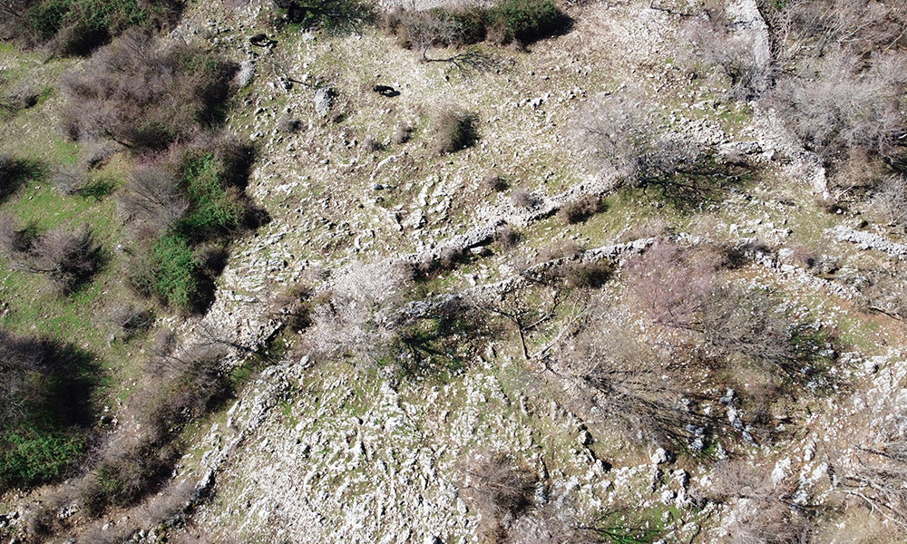
The use of ‘macere’ (dry stone walls - UNESCO intangible heritage) is widespread and constitutes a diachronic presence in the landscape of the area with great conservation problems. The archaeological sites known in the area are mainly high-altitude sites, often difficult to access or characterized by the presence of weed vegetation.
Four main sites will be considered in ARGUS: (1) The so-called “Villa of Horace”, a Roman villa in the Licenza Valley, not regularly open to the public, due to difficulties in its maintenance. (2) The medieval castle of Montefalco (11th - 14th century), in the upland zone at about 900m a.s.l. (3) The rock-carved hermitage known as ‘Conventillo’ (12th-18th century) on the limestone cliff on the southern face of Monte Morra (4) The dry-stone walls called ‘macere’ diffused all over the landscape. In particular, the ones surrounding the Montefalco castle are selected as significative sample, as they include both terrace walls and ancient property delimitations.
Main threats
The cultural heritage is exposed to skewing of the structures associated with subsidence of the ground and hydrogeological instability and soil erosion, as well as to extremely infesting vegetation and a poor preservation system dating back to the last century, natural decay due to lack of maintenance.
Main objectives to be reached with the ARGUS interventions
- To draw up an action plan based on a careful and focused monitoring and assessment of increasing risks, the detection of intervention priorities with a view to a holistic conservation action dedicated to the landscape palimpsest
- to establish strategies of reducing the erosion processes and the subsidence risks, as well as to prevent infesting vegetation without impacting on the micro-environment.