


Project and Technical Management
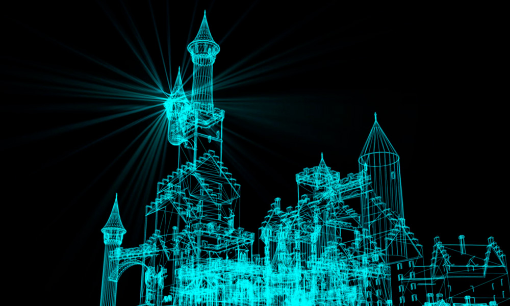
Argus project
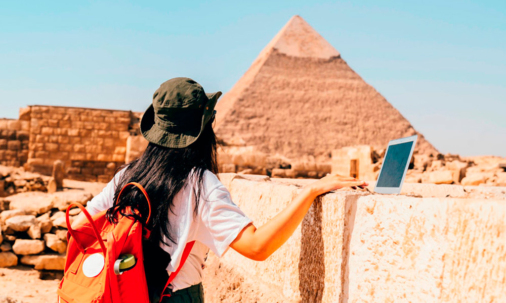
A remote monitoring revolution to pioneer the future of cultural heritage preservation
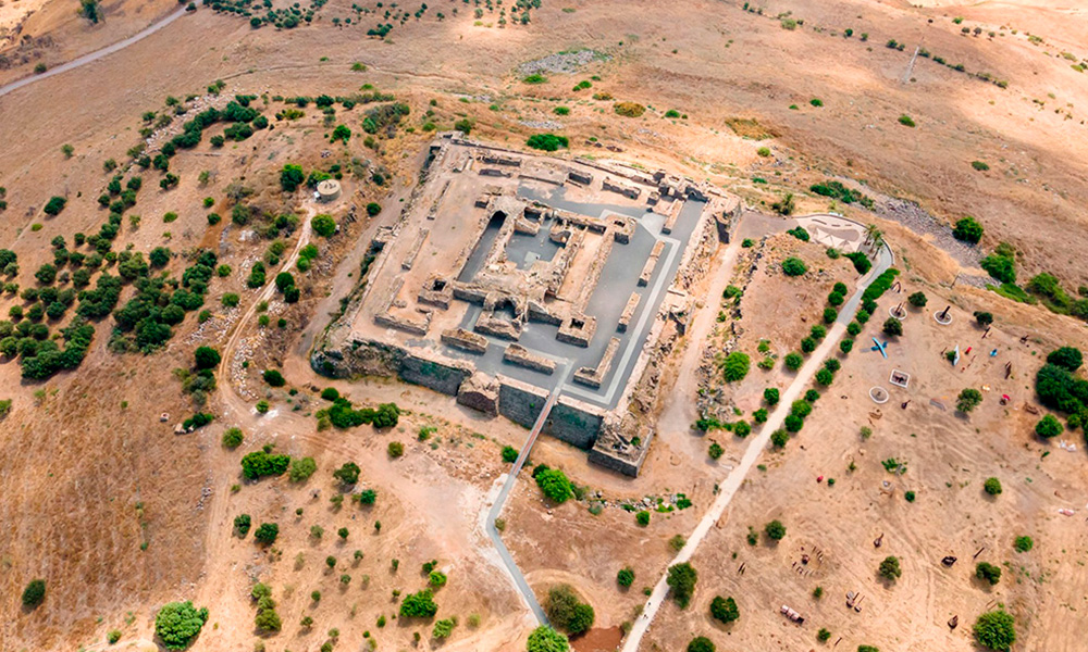
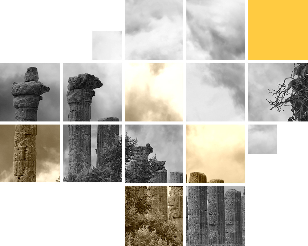
Remote heritage sites are often vulnerable to a variety of environmental and anthropogenic factors that can cause damage or even destroy these important cultural and historical landmarks.
Three key factors affect remote heritage sites and monuments:
1
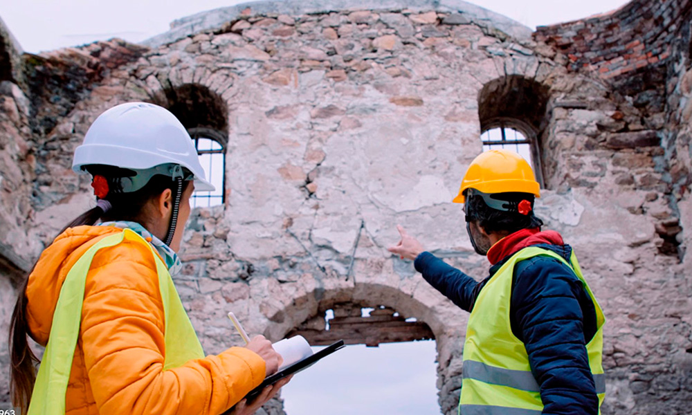
Human activity
Our activities can cause both direct impacts (unregulated tourism, looting, construction and development of infrastructure and other buildings) and indirect impacts (air pollution, density of population, natural resource exploitation, etc).
2
Natural disasters
Earthquakes, hurricanes, floods and other natural disasters such as fires can cause significant damage to heritage sites. Invasive species of plants and animals can also cause significant damage to heritage sites
3
Climate change
Climate change is crossing the boundaries of anthropogenic and natural factors and is widely recognized as one of the major threats to heritage sites. Changes in temperature and precipitation patterns can cause physical damage to heritage sites, such as erosion, landslides, and flooding
Researchers are now focusing on the effects of those factors that might interact with each other and amplify their impact on the degradation of materials and weakened structures.
Effective preventive, protective and mitigative strategies require communities, governments, and experts across disciplines to work together.