The ARGUS project is developing a scalable, non-invasive monitoring framework to safeguard remote and vulnerable cultural heritage sites. A new report presents the project’s comprehensive approach to remote sensing and on-site data collection, which underpins ARGUS’s ambition to enable preventive, data-driven heritage conservation.
The report sets out the methodologies and technologies used to collect, harmonise, and integrate heterogeneous data sources, providing a robust foundation for the development of ARGUS’s digital twin and AI-enabled decision-support tools.
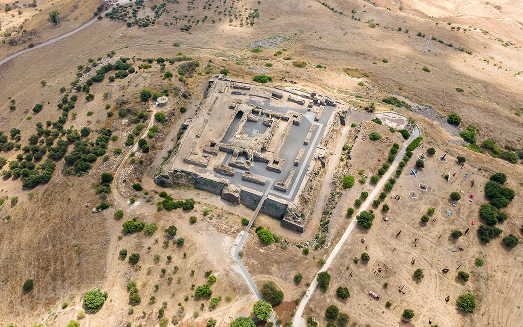
At the core of the framework are two complementary data collection pillars: remote sensing and on-site monitoring. Remote sensing leverages satellite imagery, aerial photography, and thematic datasets to observe environmental and geological processes at macro- and meso-scales. These sources support the detection and analysis of hazards such as soil erosion, flooding, seismic activity, and urban pressure—factors that can significantly affect the integrity of cultural heritage sites.
On-site monitoring enhances this perspective by delivering high-resolution, localised measurements of structural and environmental conditions through advanced sensing technologies, including fibre-optic strain sensors, tiltmeters, crack meters, and meteorological instruments. Together, these methods enable a multi-scale and context-aware understanding of heritage-related risks.
A central achievement highlighted in the report is the harmonisation of data formats, metadata standards, and communication protocols across all ARGUS pilot sites. This harmonised approach ensures interoperability and full alignment with the FAIR principles, guaranteeing that collected data are findable, accessible, interoperable, and reusable. By integrating diverse datasets into a unified geospatial database, the framework supports seamless ingestion into the ARGUS digital twin, which will act as the project’s central platform for predictive modelling, risk assessment, and evidence-based decision-making.
The report underscores the value of integrating remote sensing with on-site monitoring to generate a holistic and dynamic view of heritage site conditions. By linking large-scale environmental observations with precise, site-specific sensor data, ARGUS significantly improves the accuracy of risk assessments and strengthens preventive conservation strategies. This integrated monitoring approach enables real-time observation, early warning capabilities, and deeper insights into the long-term behaviour of heritage assets under evolving environmental pressures.
In conclusion, this latest research marks a key milestone in the ARGUS project, establishing a sustainable and scalable monitoring framework for cultural heritage protection. The methodologies and technologies described lay the groundwork for innovative, data-driven conservation practices, while ongoing integration into the ARGUS digital twin will further enhance the project’s capacity to anticipate risks, support informed decision-making, and ensure the long-term preservation of Europe’s cultural heritage.